You signed in with another tab or window. Reload to refresh your session.You signed out in another tab or window. Reload to refresh your session.You switched accounts on another tab or window. Reload to refresh your session.Dismiss alert
Same road representation and intersection with other OSM objects - in some cases both OSM and PMGSY represent the same road but don't follow the same path. Since both these sources have been heavily derived from satellite imagery this might be due to alignment errors between the different sources. This might lead to the undesirable result that PMGSY roads intersect with other OSM objects like buildings.
Examples:
Roads/ways in PMGSY are not continuous. PMGSY data might contain roads which end "in the air", although a clear connection to the nearest way seems reasonable or is visible on the underlaying satellite imagery.
Examples:
Intersection of roads in PMGSY not represented by common node. To represent the intersection of roads, nodes of ways must intersect, i.e., have a common node. In PMGSY, roads often end in the non-node part of a way.
Improper breaks in roads. For purposes of routing, it is important that major roads or ways are broken at intersection with other roads. This might not be the case with PMGSY data.
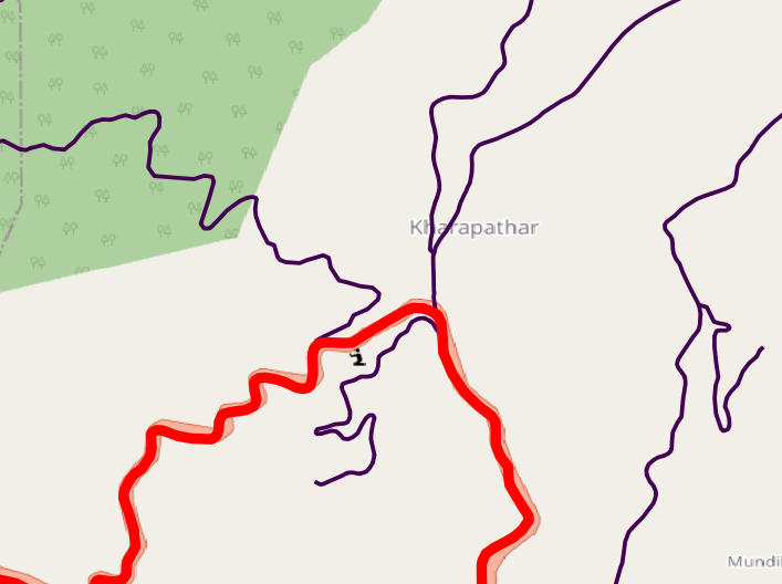
Intersection with other features - Roads in PMGSY do not inform of bridges, thus leading to conflicts with water streams/rivers.
77.6257746,31.1208713
Sharp angles - Roads in PMGSY are often sharp around hair-pin bends, necessitating manual intervention.
Road not visible in satellite imagery. Some roads in PMGSY are not visible in openly available satellite imagery available via OSM. This prevents double-checking of their existence or their path.
Examples:
Examples:
Examples:
A, location - 31.5947871, 76.5972274
B, location - 31.6297787, 76.5892687
C, location - 31.6563769, 76.6388655
D, location - 31.5864645, 76.6567495
Intersection of roads in PMGSY not represented by common node. To represent the intersection of roads, nodes of ways must intersect, i.e., have a common node. In PMGSY, roads often end in the non-node part of a way.
Improper breaks in roads. For purposes of routing, it is important that major roads or ways are broken at intersection with other roads. This might not be the case with PMGSY data.
Intersection with other features - Roads in PMGSY do not inform of bridges, thus leading to conflicts with water streams/rivers.

77.6257746,31.1208713
Sharp angles - Roads in PMGSY are often sharp around hair-pin bends, necessitating manual intervention.
Road not visible in satellite imagery. Some roads in PMGSY are not visible in openly available satellite imagery available via OSM. This prevents double-checking of their existence or their path.
Examples:
Examples:
The text was updated successfully, but these errors were encountered: